Deep Testing |
|


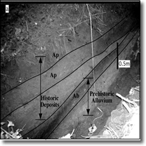
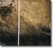
A Deep Testing Program is developed using data from aerial photographs, Lidar Digital elevation models (where available) topographic maps and a field reconnaissance of the site. Trench locations are selected on landforms with the potential to contain buried archaeological sites and other locations that provide additional stratigraphic data to develop a comprehensive depositional history for the area.
Coring programs are effective at recording buried soils and buried occupation surfaces can be identified through micro-artifact analyses of soil samples from the cores. However, additonal deep testing of these horizons is often required to determine if buried cultural horizons identified by the coring program are eligible of archaeology sites.
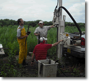
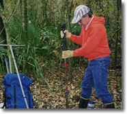
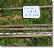
In sensitive areas where heavy machinery is not allowed, cores can be collected with an AMS soil probe and hammer with minimal disturbance.
 |
 |
 |
 |
 |