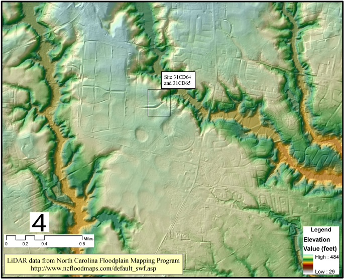
Using lidar, infrared photogrpahy and other geospatial data.